
Zamin.uz (3 September 2025)
According to the Republican Center for Aerogeodesy, over the past three years, 96 percent of all land in the country has been included in electronic digital maps. This was reported by the head of the department of the Republican Center for Aerogeodesy, I. Toshtanov.
It was reported that a special aircraft, an aerial camera, and 112 drones were purchased for the effective organization of topographic surveys. In addition, 6 information systems and data centers have been launched in the industry. As a result, cadastral documents were drawn up for 1.2 million hectares of agricultural land in reserve, and 425 thousand hectares of land were allocated to 675 thousand residents and farmers.
Monitoring and inventory work are regularly carried out in the context of regions by categories of the land fund of the republic. In recent years, the effective management and rational use of land resources have reached a new level. As a result, an inventory of all land plots in the country is being carried out in stages.
No comments yet.
- ERDOGAN: WASHINGTON ACCORDS ACCELERATED BAKU-YEREVAN NORMALIZATION The Caucasus and Turkish-Armenian Relations 03.09.2025
-
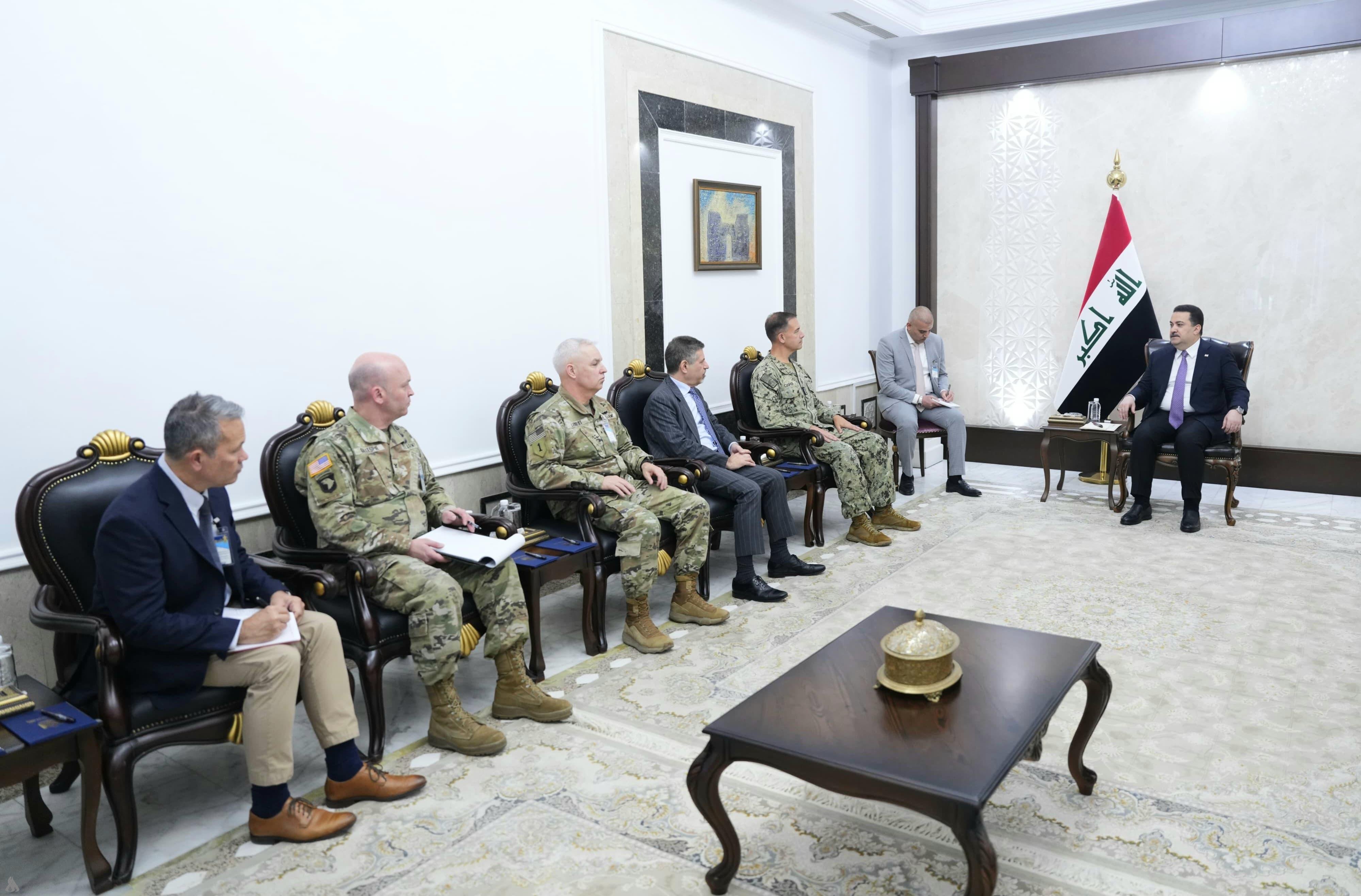 IRAQI PRIME MINISTER MEETS WITH CENTCOM COMMANDER
Iraq
03.09.2025
IRAQI PRIME MINISTER MEETS WITH CENTCOM COMMANDER
Iraq
03.09.2025
-
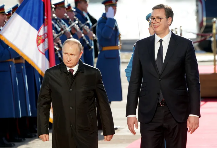 VUCIC: SERBIA STRIVES TO STAY THE ONLY EUROPEAN COUNTRY WITHOUT SANCTIONS ON RUSSIA
The Balkans
03.09.2025
VUCIC: SERBIA STRIVES TO STAY THE ONLY EUROPEAN COUNTRY WITHOUT SANCTIONS ON RUSSIA
The Balkans
03.09.2025
-
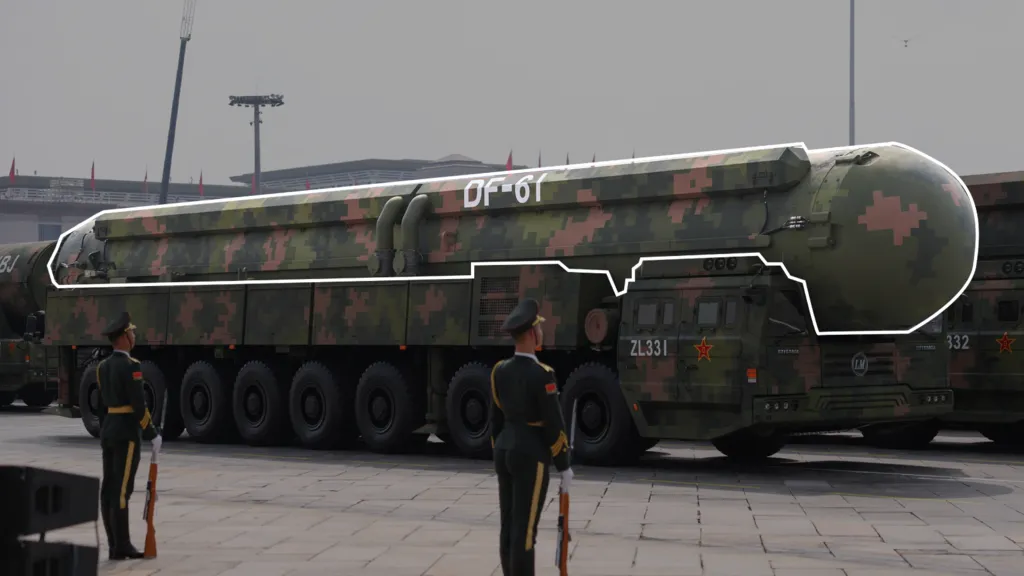 WHAT NEW WEAPONS ON SHOW AT HUGE PARADE SAY ABOUT CHINA'S MILITARY STRENGTH
Asia - Pacific
03.09.2025
WHAT NEW WEAPONS ON SHOW AT HUGE PARADE SAY ABOUT CHINA'S MILITARY STRENGTH
Asia - Pacific
03.09.2025
- PASHINYAN CHIDES ALIYEV OVER ‘ZANGEZUR CORRIDOR’ The Caucasus and Turkish-Armenian Relations 03.09.2025
-
25.01.2016
THE ARMENIAN QUESTION - BASIC KNOWLEDGE AND DOCUMENTATION -
12.06.2024
THE TRUTH WILL OUT -
27.03.2023
RADİKAL ERMENİ UNSURLARCA GERÇEKLEŞTİRİLEN MEZALİMLER VE VANDALİZM -
17.03.2023
PATRIOTISM PERVERTED -
23.02.2023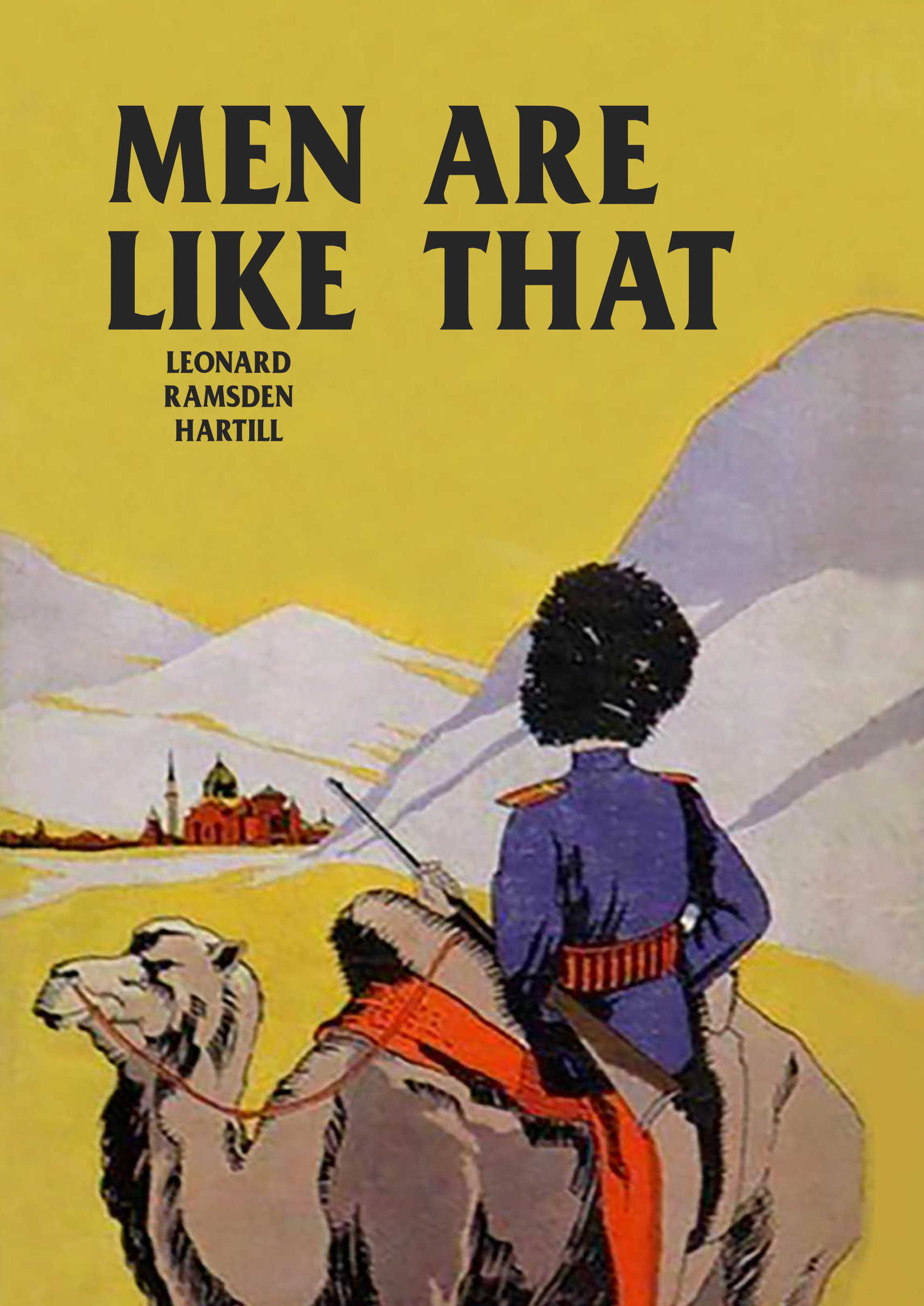
MEN ARE LIKE THAT -
03.02.2023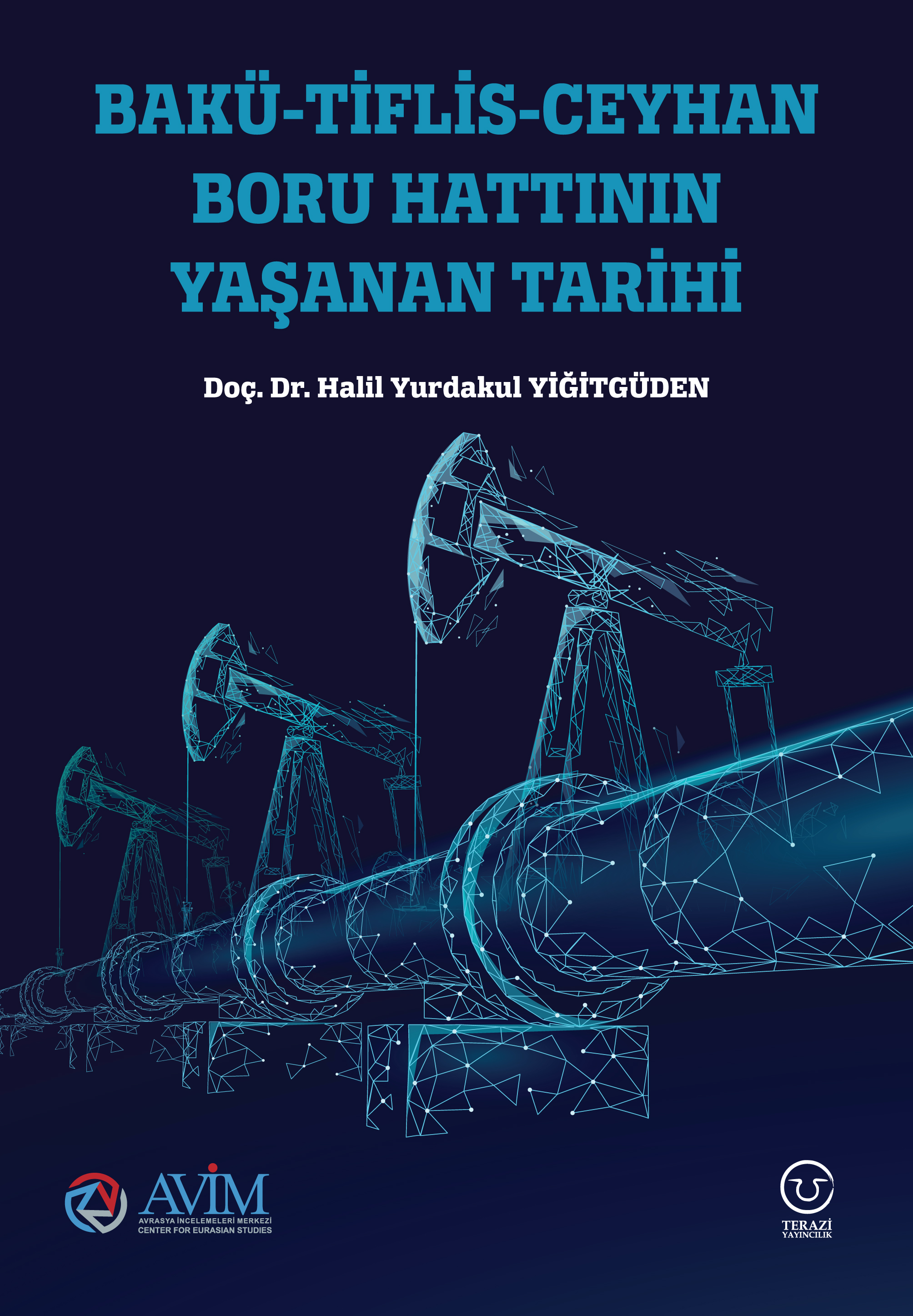
BAKÜ-TİFLİS-CEYHAN BORU HATTININ YAŞANAN TARİHİ -
16.12.2022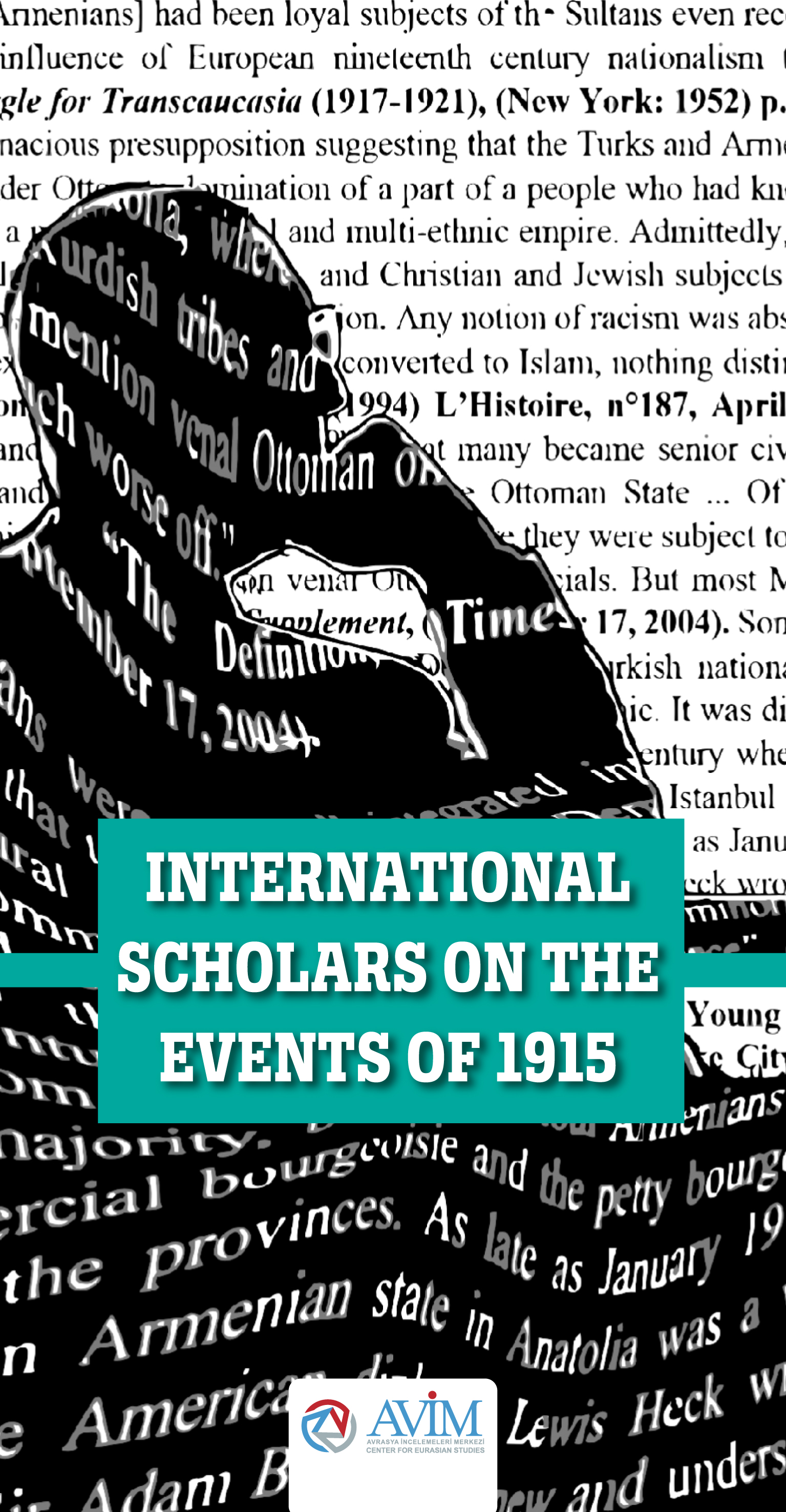
INTERNATIONAL SCHOLARS ON THE EVENTS OF 1915 -
07.12.2022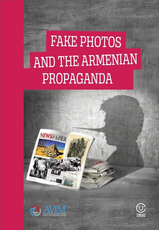
FAKE PHOTOS AND THE ARMENIAN PROPAGANDA -
07.12.2022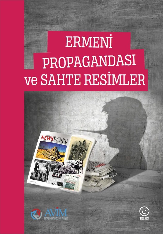
ERMENİ PROPAGANDASI VE SAHTE RESİMLER -
01.01.2022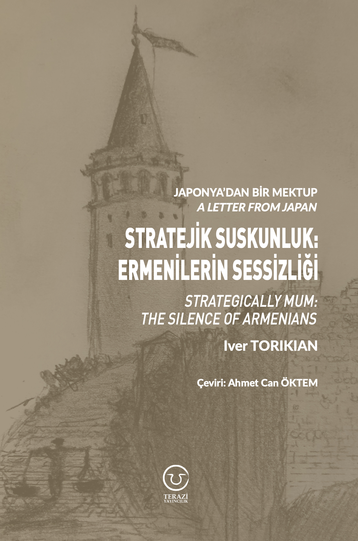
A Letter From Japan - Strategically Mum: The Silence of the Armenians -
01.01.2022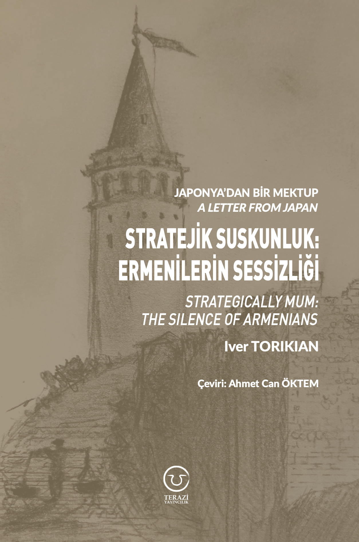
Japonya'dan Bir Mektup - Stratejik Suskunluk: Ermenilerin Sessizliği -
03.06.2020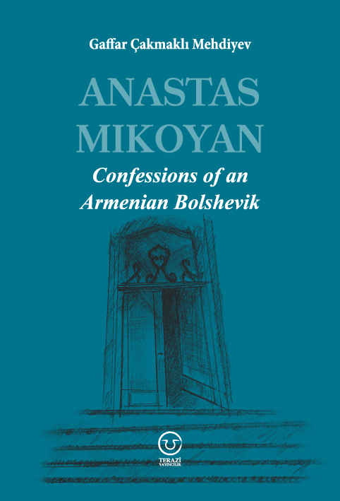
Anastas Mikoyan: Confessions of an Armenian Bolshevik -
08.04.2020
Sovyet Sonrası Ukrayna’da Devlet, Toplum ve Siyaset - Değişen Dinamikler, Dönüşen Kimlikler -
12.06.2018
Ermeni Sorunuyla İlgili İngiliz Belgeleri (1912-1923) - British Documents on Armenian Question (1912-1923) -
02.12.2016
Turkish-Russian Academics: A Historical Study on the Caucasus -
01.07.2016
Gürcistan'daki Müslüman Topluluklar: Azınlık Hakları, Kimlik, Siyaset -
10.03.2016
Armenian Diaspora: Diaspora, State and the Imagination of the Republic of Armenia -
24.01.2016
ERMENİ SORUNU - TEMEL BİLGİ VE BELGELER (2. BASKI)
-
AVİM Conference Hall 24.01.2023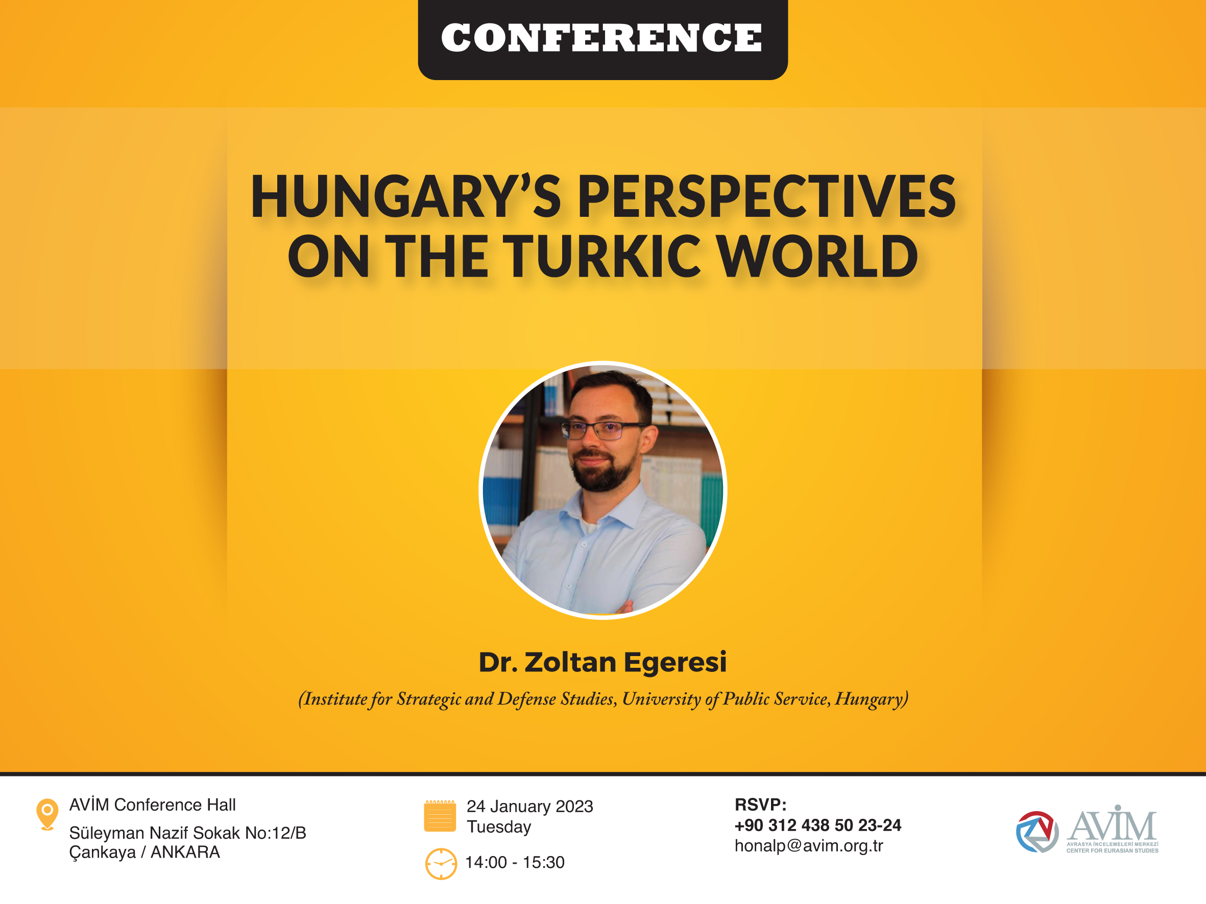
CONFERENCE TITLED “HUNGARY’S PERSPECTIVES ON THE TURKIC WORLD"